
portfolio
Drone Services
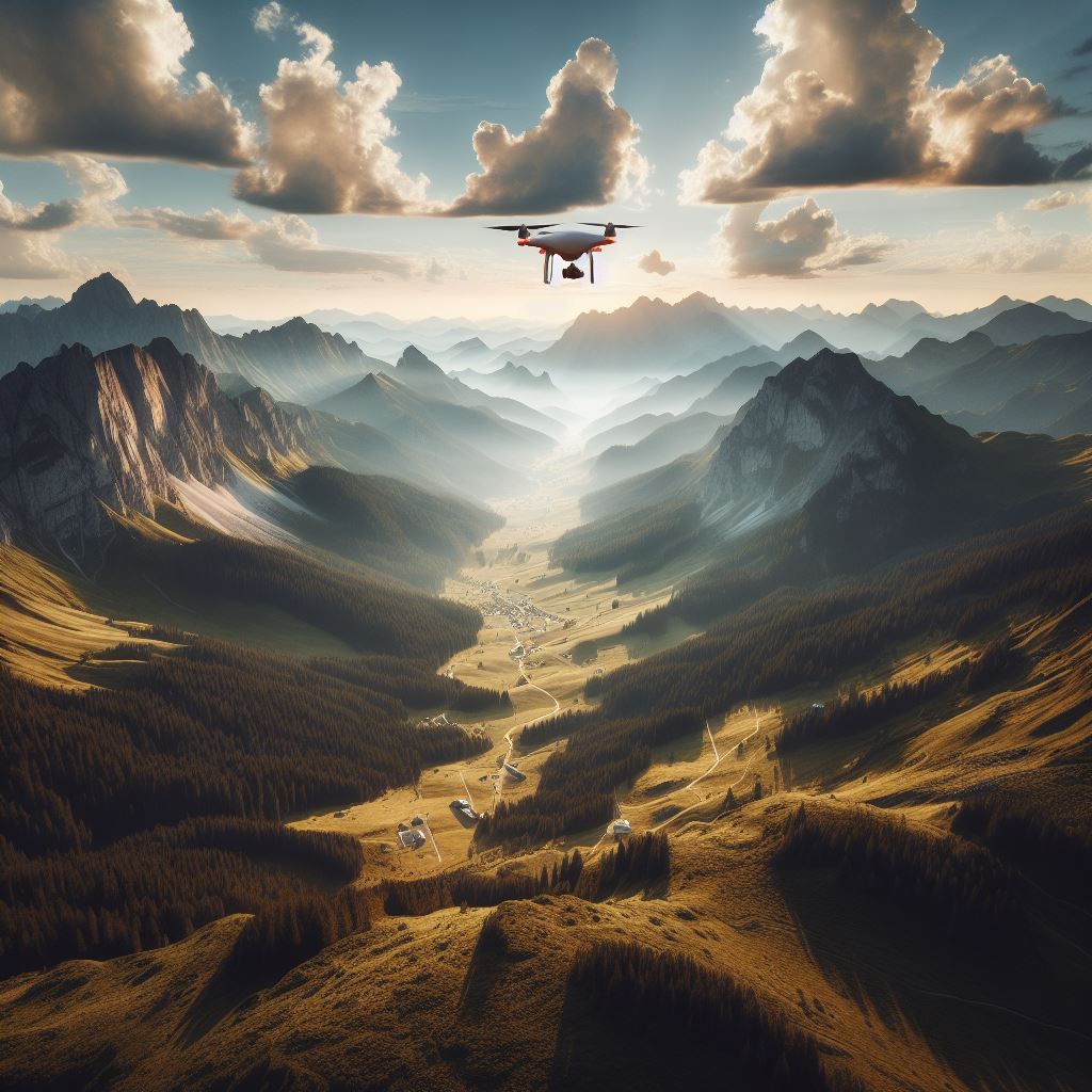
Drones as a service (DaaS) allows companies the opportunity to access drone technology and services without the need to purchase, maintain, or operate the equipment themselves. Drones can perform a variety of tasks, such as aerial photography, surveillance, inspection, mapping, delivery, and more. We will focus on two specific applications of DaaS: geospatial and inspection.
Geospatial Data Collection and Mapping with Drones
Geospatial data refers to any data that has a geographic component, such as location, elevation, distance, or direction. Geospatial data can be used for various purposes, such as planning, analysis, visualization, and decision making. Drones can collect geospatial data by using sensors, such as cameras, LiDAR, or GPS, to capture images and measurements of the terrain. These data can then be processed and analyzed by software tools, such as DJI Terra1, to create high-resolution and accurate maps and models of the area of interest.
Some of the benefits of using drones for geospatial data collection and mapping are:
- Drones can cover large areas faster and more efficiently than traditional methods, such as ground surveys or manned aircraft.
- Drones can access remote, rugged, or hazardous areas that are difficult or dangerous to reach by humans or vehicles.
- Drones can provide real-time or near-real-time data, which can be useful for dynamic or time-sensitive situations, such as disaster response or environmental monitoring.
- Drones can reduce the cost and risk of data collection and mapping, as they are cheaper and safer to operate than manned aircraft or ground crews.
Some of the use cases of geospatial data collection and mapping with drones are:
- Agriculture: Drones can monitor crop health, soil quality, irrigation, pest infestation, and yield, and provide data for precision farming and crop management.
- Construction: Drones can survey and map construction sites, measure and inspect buildings, structures, roads, bridges, pipelines, power lines, and other infrastructure, and provide data for design and construction processes.
- Mining: Drones can survey and map mining sites, measure and monitor stockpiles, pits, dumps, and tailings, and provide data for exploration, extraction, and environmental management.
- Environmental: Drones can survey and map natural resources, such as forests, wetlands, rivers, and oceans, monitor and assess environmental conditions, such as air quality, water quality, biodiversity, and climate change, and provide data for conservation and restoration projects.
Inspection and Maintenance with Drones
Inspection and maintenance are essential activities for ensuring the safety, performance, and reliability of various assets and systems, such as buildings, structures, equipment, and networks. Drones can perform inspection and maintenance tasks by using sensors, such as cameras, thermal, or ultrasonic, to capture images and data of the condition and status of the assets and systems. These data can then be processed and analyzed by software tools, such as DroneDeploy2, to identify and diagnose faults, defects, or anomalies, and provide recommendations for repairs or improvements.
Some of the benefits of using drones for inspection and maintenance are:
- Drones can inspect and maintain assets and systems that are high, hard-to-reach, or dangerous, such as roofs, towers, wind turbines, or power lines, without exposing humans or vehicles to risks or hazards.
- Drones can inspect and maintain assets and systems more frequently and thoroughly than traditional methods, such as manual or visual inspections, and provide more accurate and consistent data.
- Drones can inspect and maintain assets and systems faster and more efficiently than traditional methods, such as scaffolding, ladders, or cranes, and reduce the downtime and disruption of operations.
- Drones can inspect and maintain assets and systems more cost-effectively than traditional methods, as they are cheaper and easier to operate and maintain than manned aircraft or ground crews.
Some of the use cases of inspection and maintenance with drones are:
- Energy: Drones can inspect and maintain power plants, substations, transmission and distribution lines, solar panels, wind turbines, and other energy assets and systems, and provide data for performance optimization and fault detection.
- Transportation: Drones can inspect and maintain bridges, tunnels, railways, highways, airports, ports, and other transportation assets and systems, and provide data for safety assessment and damage evaluation.
- Manufacturing: Drones can inspect and maintain factories, warehouses, machinery, equipment, and other manufacturing assets and systems, and provide data for quality control and process improvement.
- Telecommunications: Drones can inspect and maintain cell towers, antennas, cables, and other telecommunications assets and systems, and provide data for signal optimization and network expansion.
Conclusion
Drones as a service (DaaS) is a promising and innovative business model that offers customers the opportunity to access drone technology and services without the hassle and expense of owning, operating, or maintaining the equipment themselves. Drones can perform various tasks, such as aerial photography, surveillance, inspection, mapping, delivery, and more, and provide valuable data and insights for different sectors and industries. In this article, we focused on two specific applications of DaaS: geospatial and inspection, and discussed their benefits and use cases. DaaS is expected to grow and expand in the future, as drone technology advances and new applications emerge. DaaS can help customers achieve their goals and objectives, while saving time, money, and resources, and improving safety, efficiency, and quality.