portfolio
AGA Project
About the project
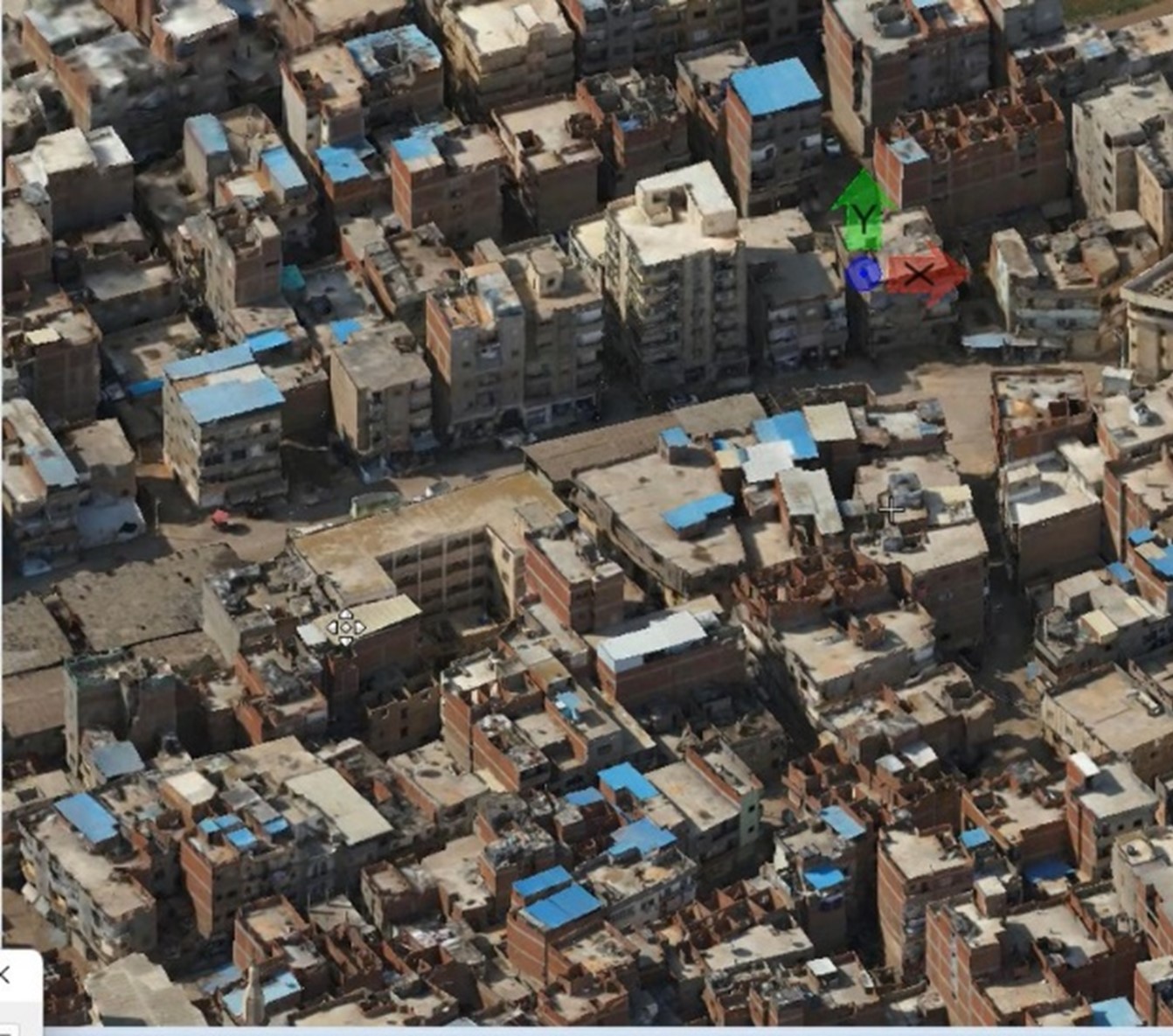
The AGA Project aimed facilitate urban planning by creating detailed 2D and 3D representations of the city's landscape using drone mapping and geospatial analysis. The project addressed challenges posed by outdated geospatial data, providing city planners with accurate resources for decision-making.
Requirements
- High-resolution orthophoto of the city.
- Detailed 3D reality mesh, capturing terrain, structures, and vegetation.
- An updated geodatabase featuring roads, parcels, building footprints, and building heights.
In Phase One, the DJI Matrice 300 drone equipped with a Zenmuse P1 payload captured high-resolution RGB imagery and thermal data. The team optimized drone flight paths, assessed site topography, and conducted quality checks during data acquisition. The collected imagery was processed into orthophotos and a 3D reality mesh using Bentley iTwinCapture Modeler.
In Phase Two, the focus shifted to GIS digitization and geodatabase creation. Features such as roads, parcels, and building footprints were extracted from the 3D reality mesh and orthophotos using OpenCities Map (OCM) and ArcGIS Pro. Building heights were calculated automatically from the 3D model, enhancing data accuracy.
Technologies used: DJI, Bentley, Esri

