portfolio
Petrochemical Complex Topographic Survey
About the project
Objective
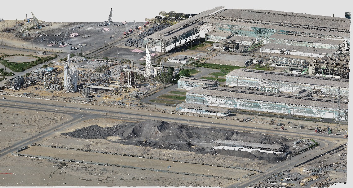
Conduct a topographic survey for a 100 km² petrochemical complex to support construction planning by identifying lineaments, offsets, and geological faults.
Conduct a topographic survey for a 100 km² petrochemical complex to support construction planning by identifying lineaments, offsets, and geological faults.
Scope & Challenges
-
Addressing complex terrain and ensuring precision.
-
Meeting USGS LiDAR Base Specification 2021 (Quality Level 0).
Deliverables
-
High-resolution drone imagery.
-
Ground-extracted point cloud data (.LAS).
-
Bare-earth LandXML and DEM.
Our Solution
-
Equipment: DJI Matrice 300 with Zenmuse L1 LiDAR, DJI Mavic 3E.
-
Software: TerraSolid for processing, Esri ArcGIS for mapping.
-
Execution: Area divided into 1 km² grids for efficient data collection. GCPs were set up for georeferencing. Final deliverables included high-quality point cloud data and DEMs.

