portfolio
Gold Concession Base Map
About the project
Objective
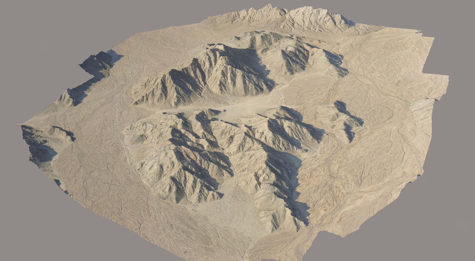
Produce a high-resolution base map for a 35.6 km² remote, mountains gold mining site to support extraction planning.
Produce a high-resolution base map for a 35.6 km² remote, mountains gold mining site to support extraction planning.
Scope & Challenges
-
Managing logistics for a site over 1000 meters above sea level.
-
Extracting ancient mining blast widths from orthophotos.
Deliverables
-
Orthophoto and DSM at 10 cm/px and 5 cm/px resolutions.
-
Drone-based 3D model.
Our Solution
-
Equipment: DJI Matrice 300 with Zenmuse P1 payload.
-
Software: Bentley iTwin Capture Modeler for processing.
-
Execution: Hazard identification, PPK workflow integration, and DSM creation for flight planning.

