portfolio
OSL Project
About the project
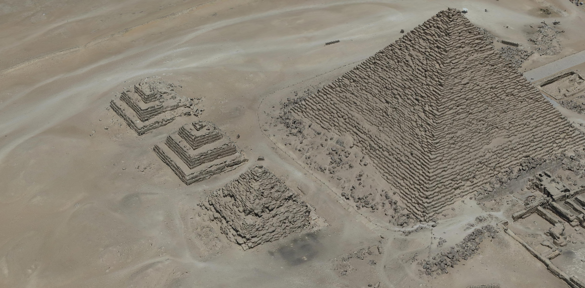
The Pyramids Zone development project focused on enhancing tourism by creating a detailed base map of the area and documenting electrical assets for the Sound and Light project. Heavy tourist traffic made traditional surveying impractical, leading to the use of aerial photogrammetry. Mapping underground cables presented challenges, requiring precise data on cable locations, diameters, and depths provided by the client.
Requirements
- High-resolution orthophotos and a 3D model of the pyramids zone.
- Detailed cadastral mapping of underground electrical assets, including cable diameter, depth, and elevation.
Phase 1: Aerial photogrammetry was conducted using a DJI Matrice 300 drone with a Zenmuse P1 payload. Images were geotagged with PPK processing and triangulated in Bentley iTwin Capture Modeler to produce orthophotos and a 3D model.
Phase 2: Cadastral mapping utilized Emlid Reach RS2+ GNSS receivers for data collection. Data was processed in Emlid Studio and MicroStation to create an as-built model. ArcGIS Pro was employed to build a schema for storing cable details, completing the detailed mapping deliverables.
Technologies used: DJI, Emlid, Esri and Bentley Systems.

