portfolio
The Lafarge Project Laser
About the project
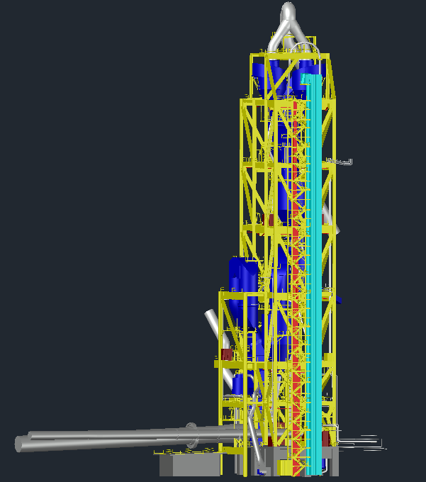
The Lafarge 2023 project aimed to create a reality model and conduct a detailed site survey of the Pre-Heater area using terrestrial laser scanning. The goal was to produce a comprehensive 3D point cloud dataset and an as-built 3D model with Level of Detail (LOD) 350.
Requirements
- 3D point cloud data of the site.
- An as-built 3D model of the Pre-Heater.
Fieldwork involved detailed planning, including selecting optimal scanner locations, addressing site-specific challenges like accessibility and safety, and installing ground control points (GCPs) for georeferencing. The Z+F IMAGER 5016A terrestrial laser scanner was used to capture high-resolution data. Emlid Reach RS2+ GNSS receiver was used to determine control points to georeferenced the point cloud. Specialized software such as Laser Control, Edgewise, Autodesk Plant 3D, and Autodesk Inventor was employed for data refinement, modelling, and final deliverables.
Technologies used: Z+F, Emlid, Clear Edge, AutoDesk

